


CitySculpt
WHAT MAKES OUR 3D DATA SO UNIQUE

A CITYFRAMES ORIGINAL
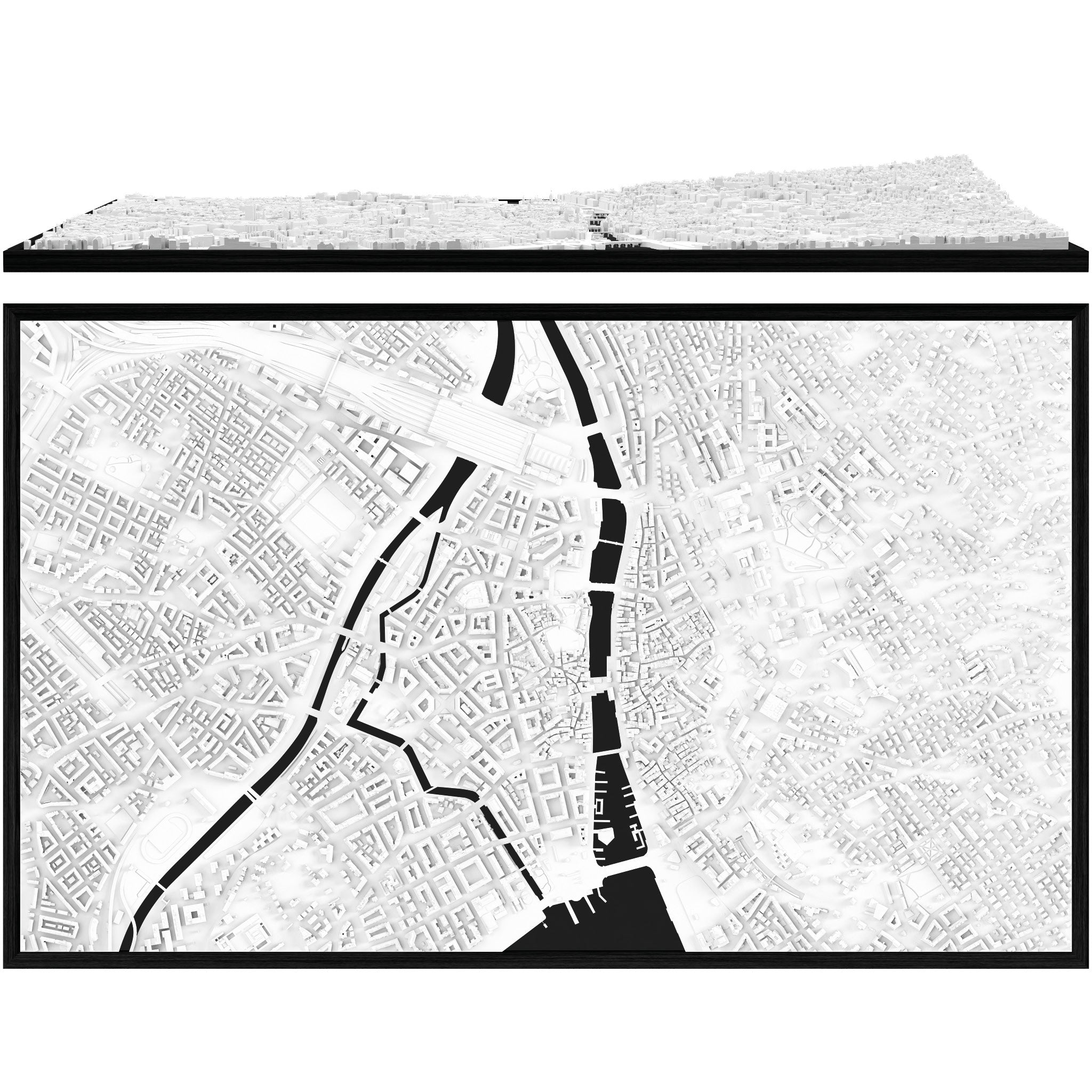
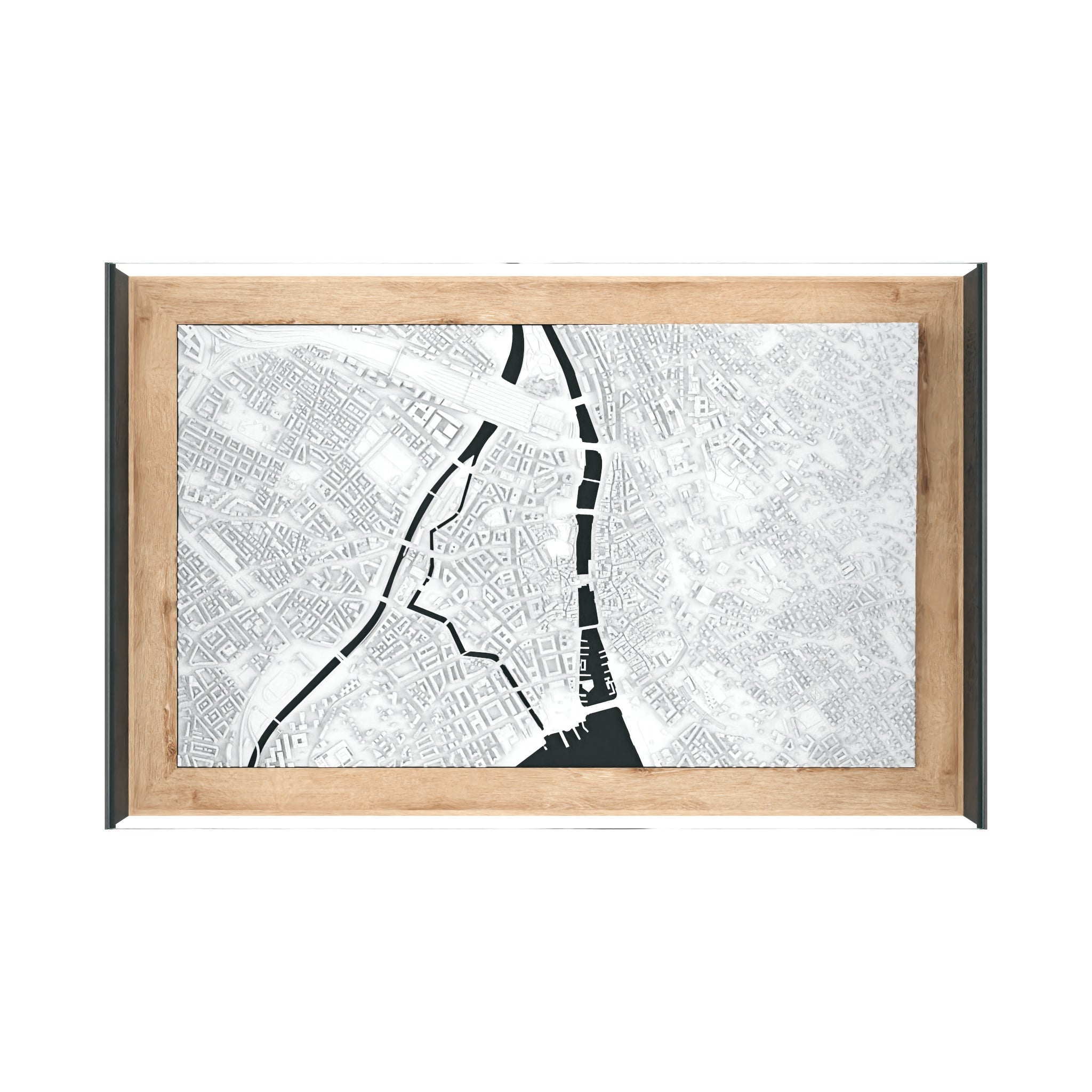
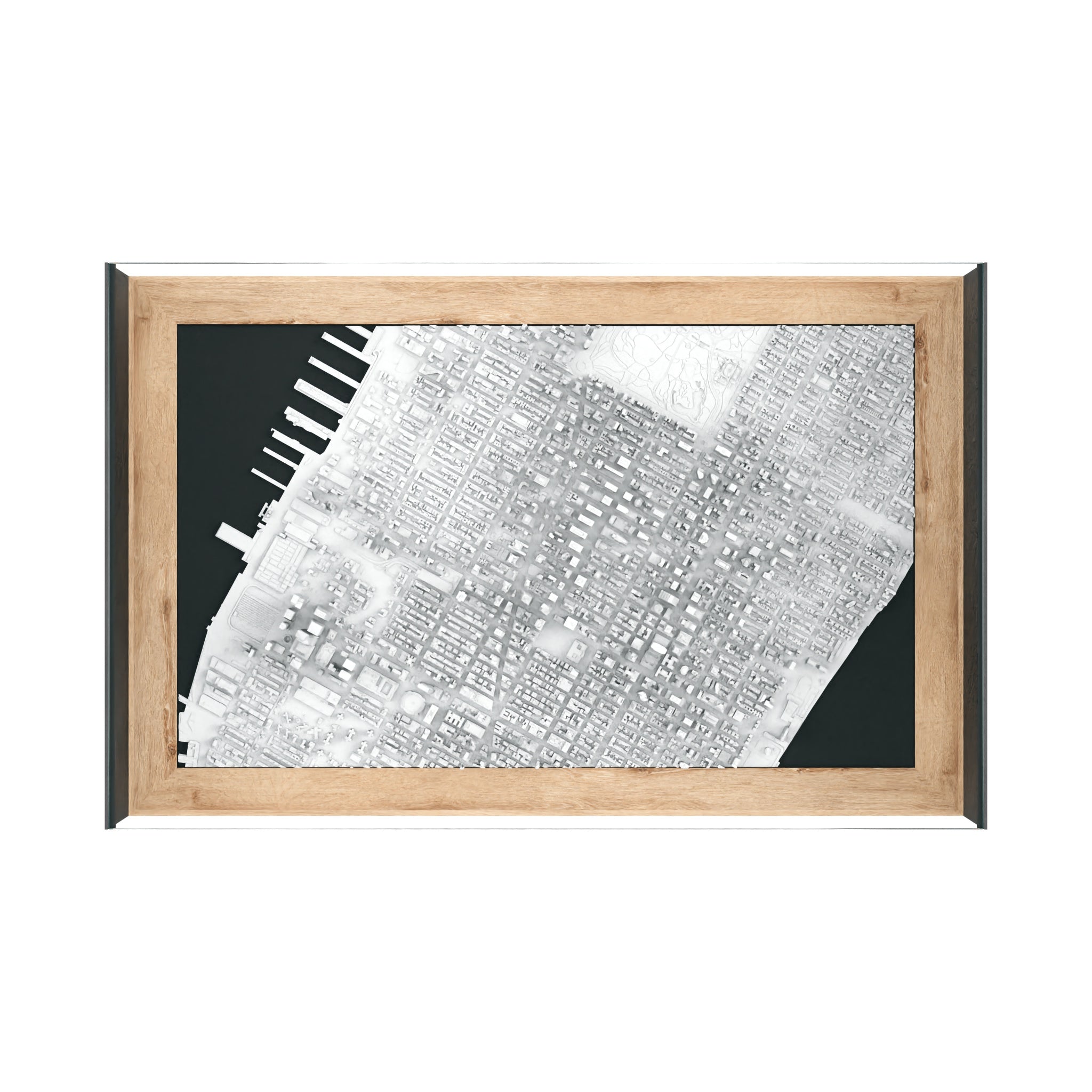
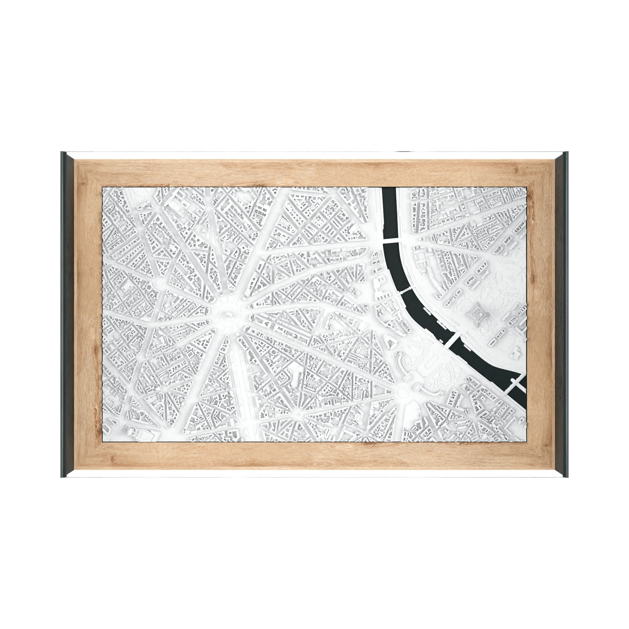
Every CITYFRAMES model starts with carefully selected high-resolution data. We interpret and refine each city to create a clean, balanced miniature that captures its true character.

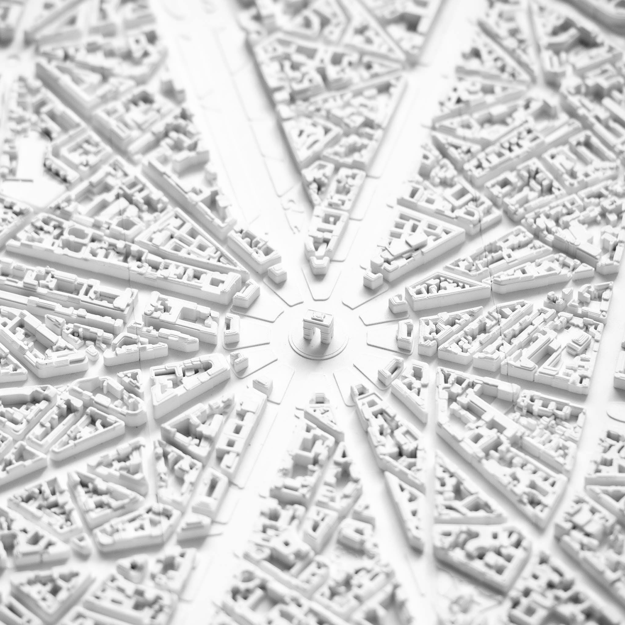
PRECISION YOU CAN SEE
From skyline-defining landmarks to subtle building structures, every element is refined for clarity, depth, and a clean architectural aesthetic.

REFINED BY HAND
Built on high-resolution satellite data, each model is carefully refined by hand to ensure balance, proportion, and a clear, architectural composition.
CitySculpt is the framework we developed in-house to build the high-precision 3D data used in every CITYFRAMES model.
Refined over years of development, it combines carefully selected source material, advanced processing, and manual refinement to create clean, detailed, and consistent miniature cities.
The result is an unmatched level of precision and clarity.

Before

CitySculpt

IT STARTS WITH THE DATA
THE PROBLEM WITH STANDARD DATA
Most manufacturers rely on openly available map data, typically based on sources like OpenStreetMap. This makes it easy to generate cities quickly, but it comes at the cost of quality.
The data is often inconsistent, lacks detail, and is not designed to capture the true character of a city. As a result, many models feel generic - they show the outline, but not the essence.
A DIFFERENT APPROACH
At CITYFRAMES, we work with high-resolution satellite imagery and carefully selected source material.
Each city is refined individually to achieve accurate proportions, clarity, and a balanced miniature aesthetic.
BUILT WITH CITYSCULPT
Our in-house framework transforms data into high-precision 3D models.
Refined over years, it allows us to create clean, detailed miniatures with a level of quality that standard methods can’t achieve.
The solution: Merging technology with manual skill
CitySculpt Process
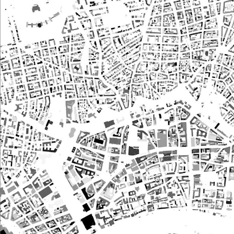
Urban Layout Plan
The process starts with 2D urban blueprints. By utilizing fundamental open-data layout plans we outline the model areas and determine necessary data sources for generating the 3D data.
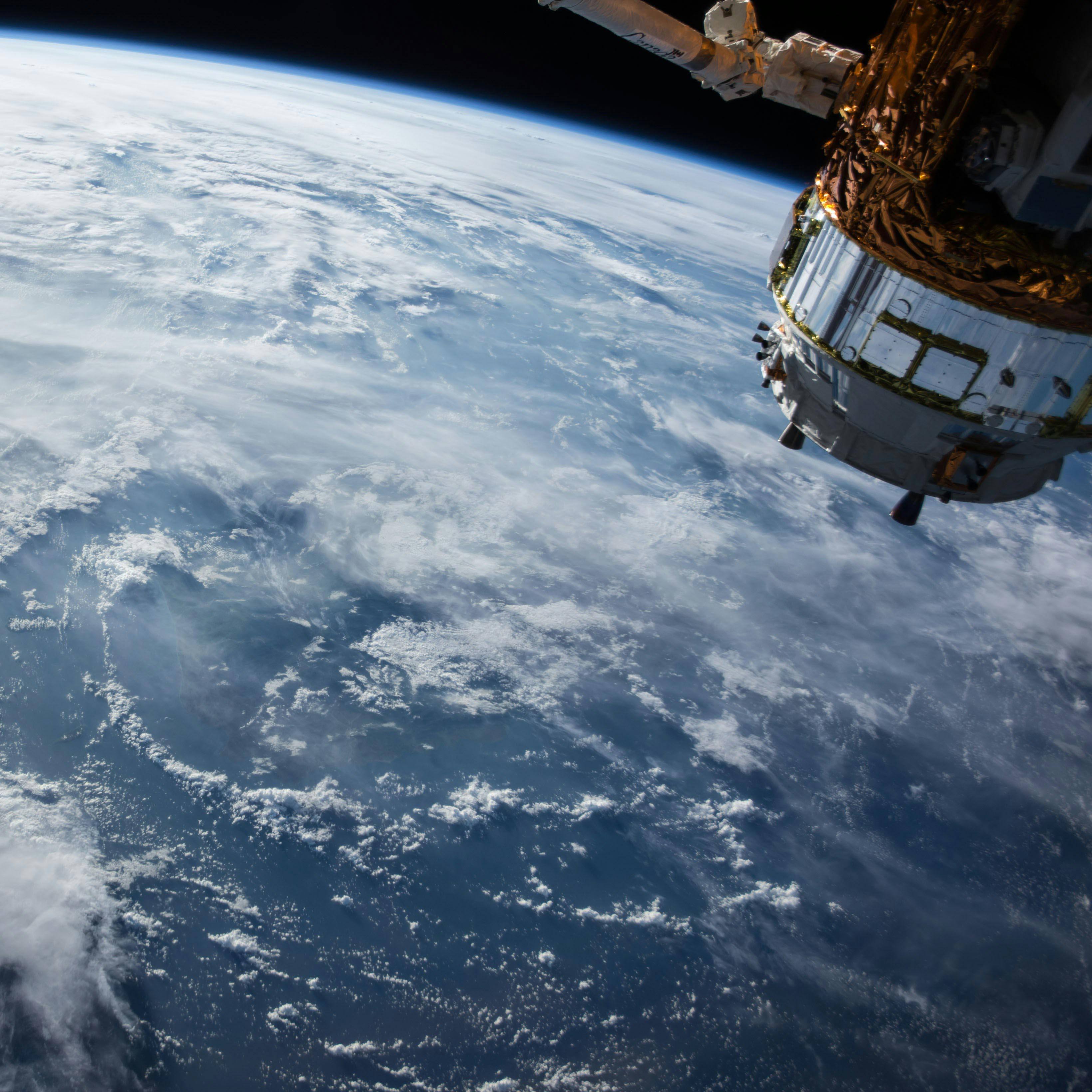
Looking down on the ISS
The satellites that capture the data for our models fly twice as high as the International Space Station, yet still produce crystal-clear data. By having access to the latest innovations from Airbus, NASA, and ESA, we are able to purchase very high-quality datasets that serve as the perfect base for our 3D city models. We use combinations of multiple datasets, depending on the density, topography and location of the city.
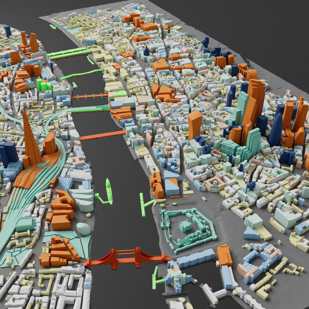
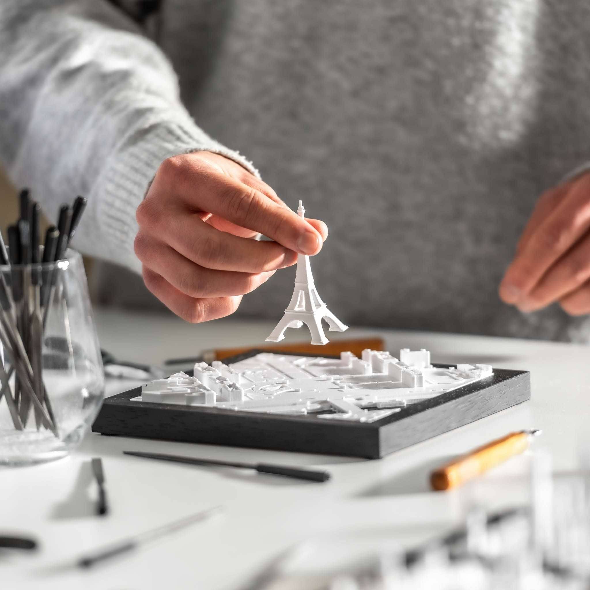
Time for manual skill
Cities are diverse and complex, which is why we now hand over the datasets to our skilled 3D data artists. The generated buildings are manually cross-referenced against sources such as Google Maps or building plans. We reconstruct missing structures, enhance details, and track upcoming developments. Additionally, we add parks, bridges, landmarks, railways, bodies of water, docks, elevated roads, highways, pathways, and statues to our models.
The unique miniature look
In the final step, we prepare and optimize the cities for 3D Printing. This is when the miniature look of our cities truly comes to life.
By the time our models are ready for production, they are not just representations of urban landscapes, but vibrant miniatures that reflect the unique atmosphere and character of each city.
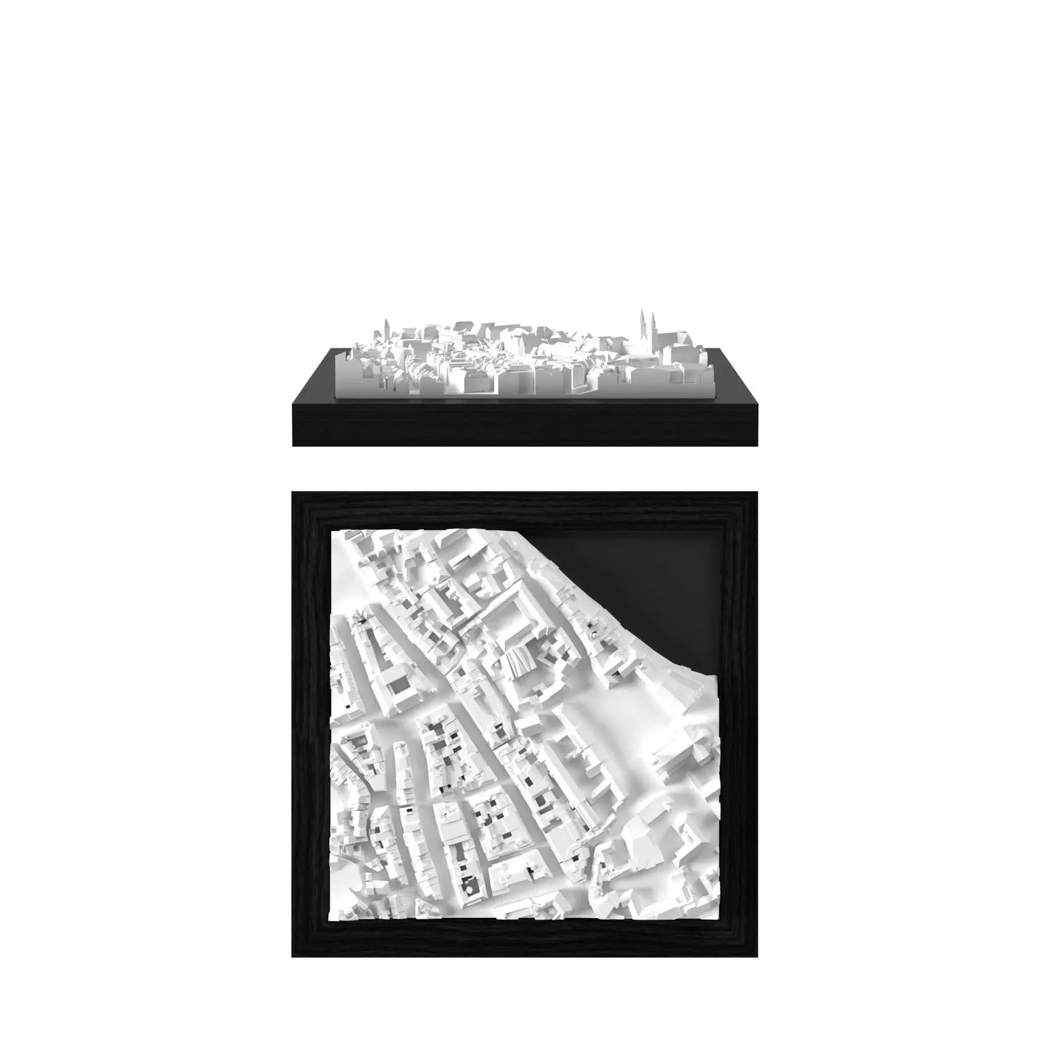
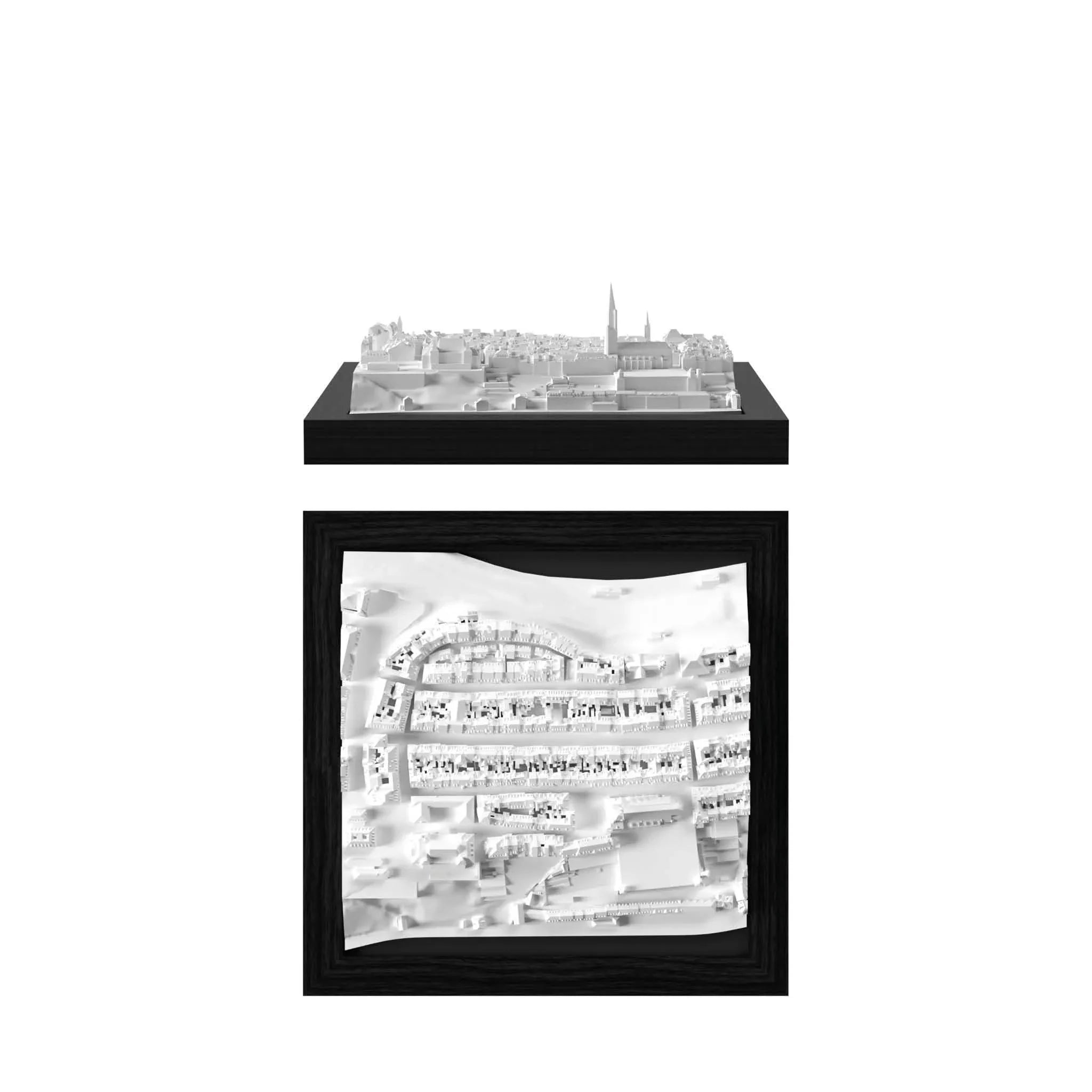
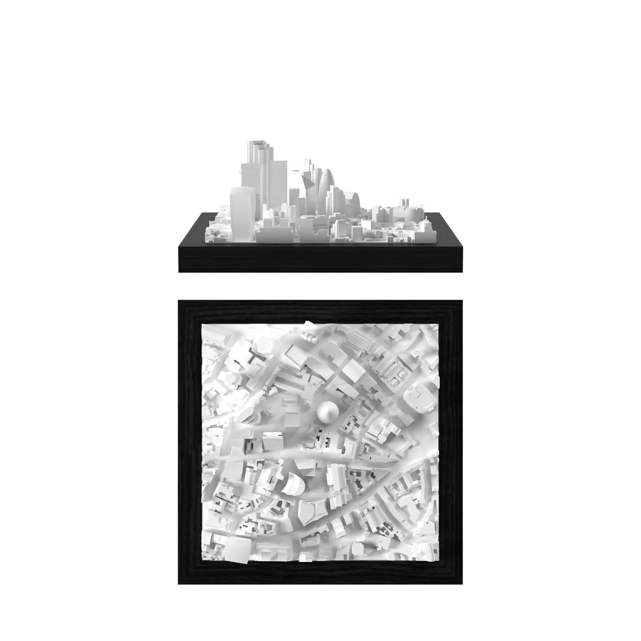
Below you can find some before / after examples of the 3D data creation with CitySculpt.
By combining state-of-the-art technology with manual processing, we are able to achieve an exceptional level of detail.
Based on many years and thousands of hours of experience, we have perfected this process to create 3D cities that are truly unique.

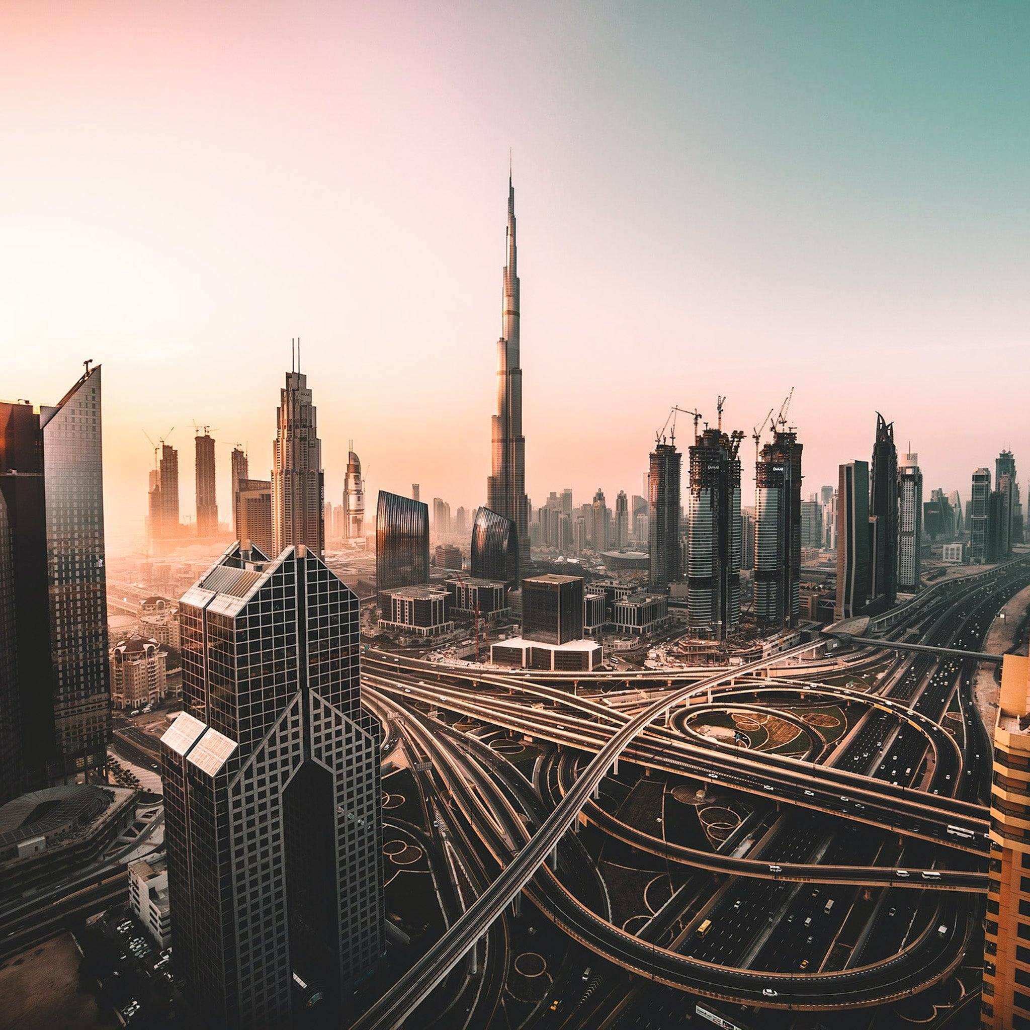
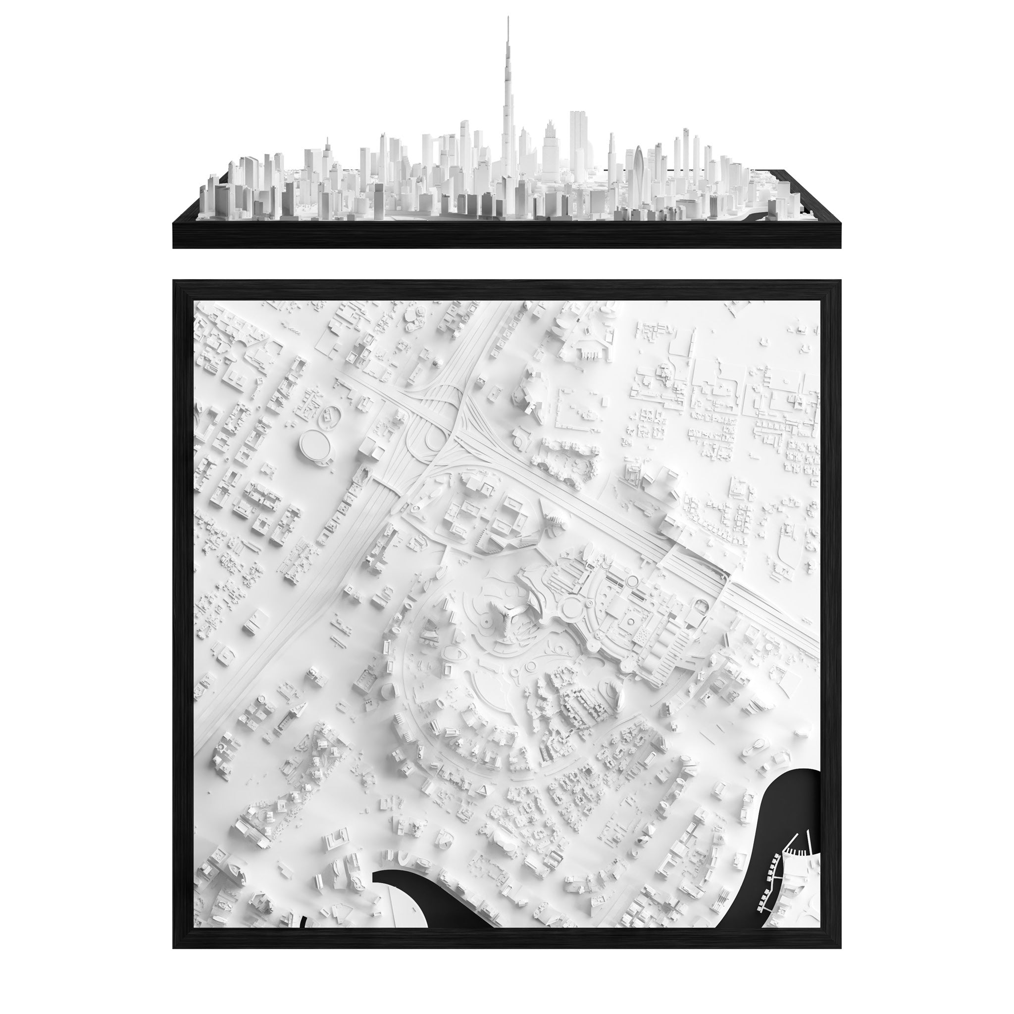
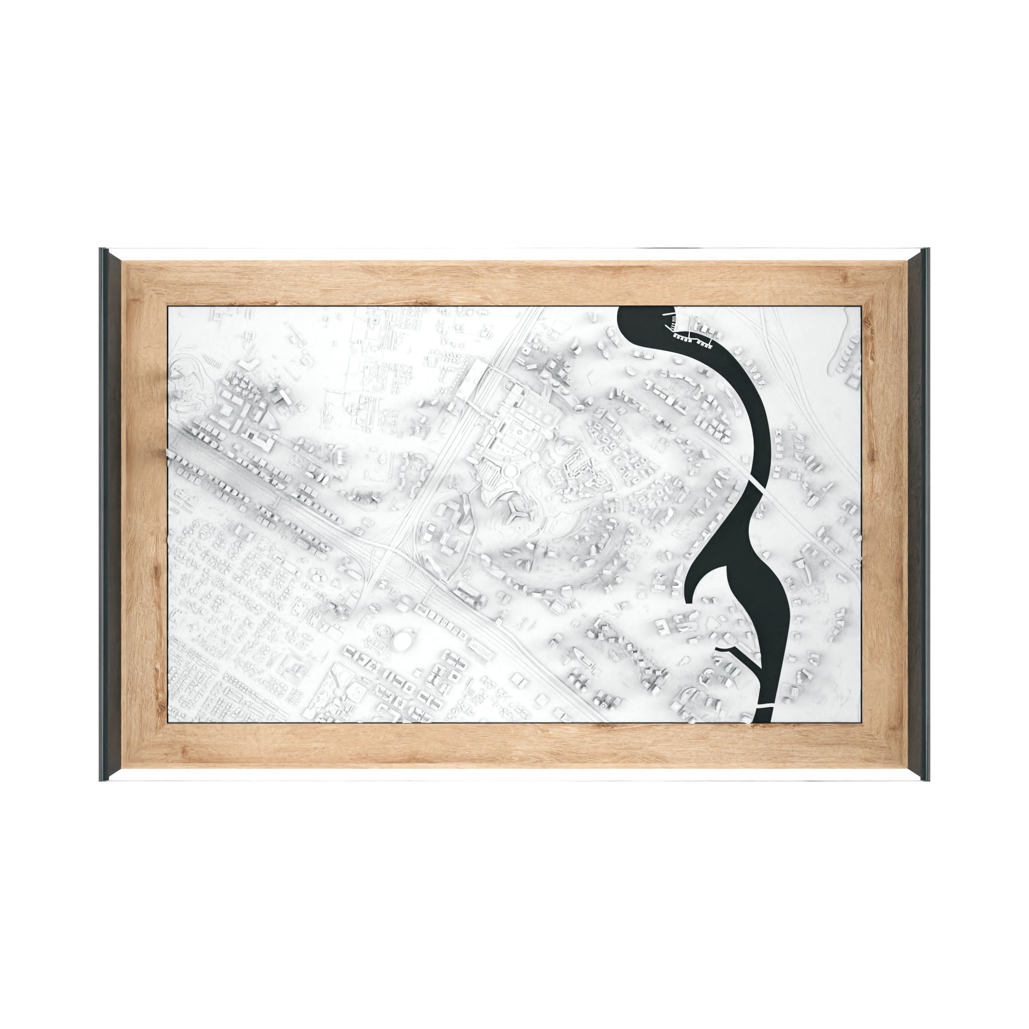
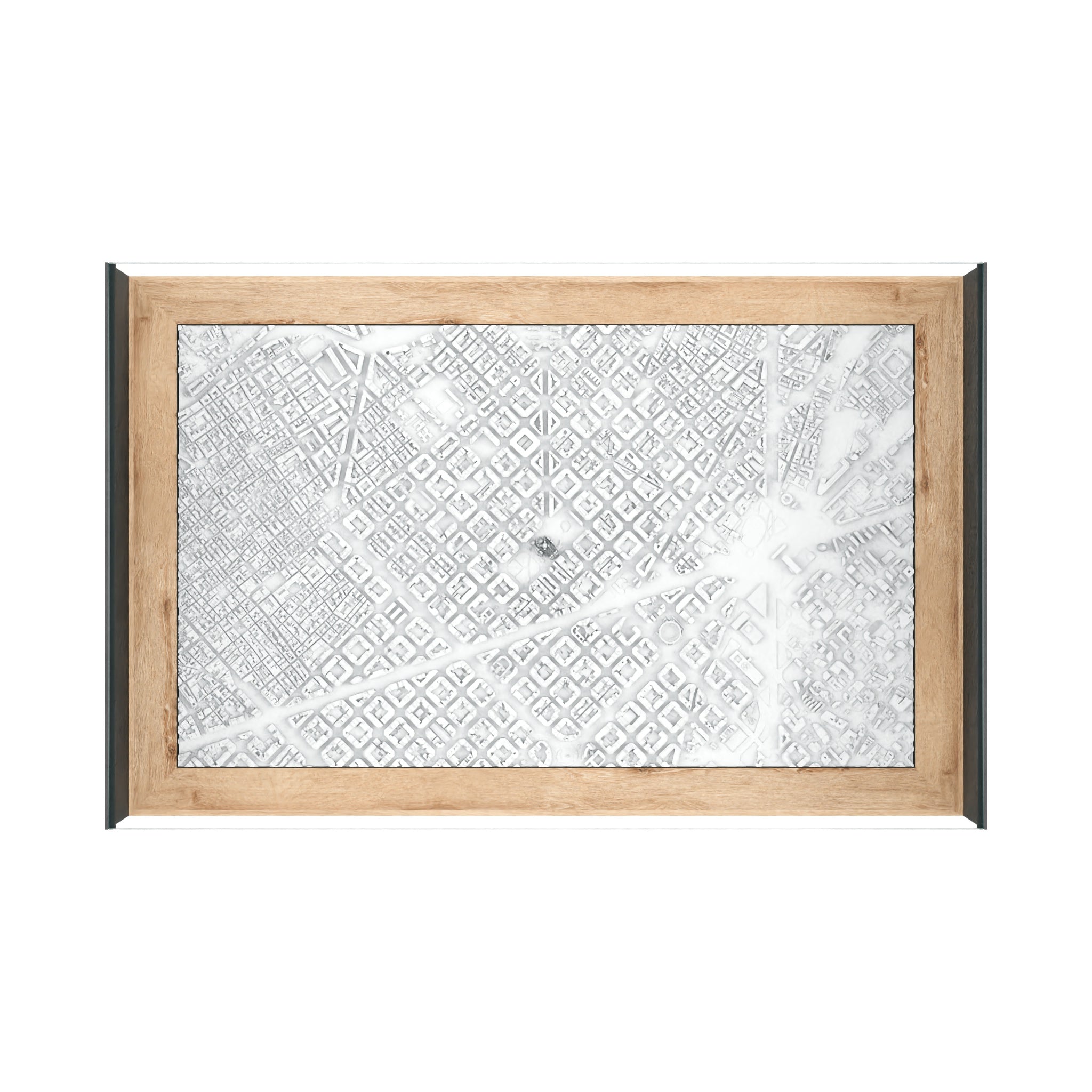
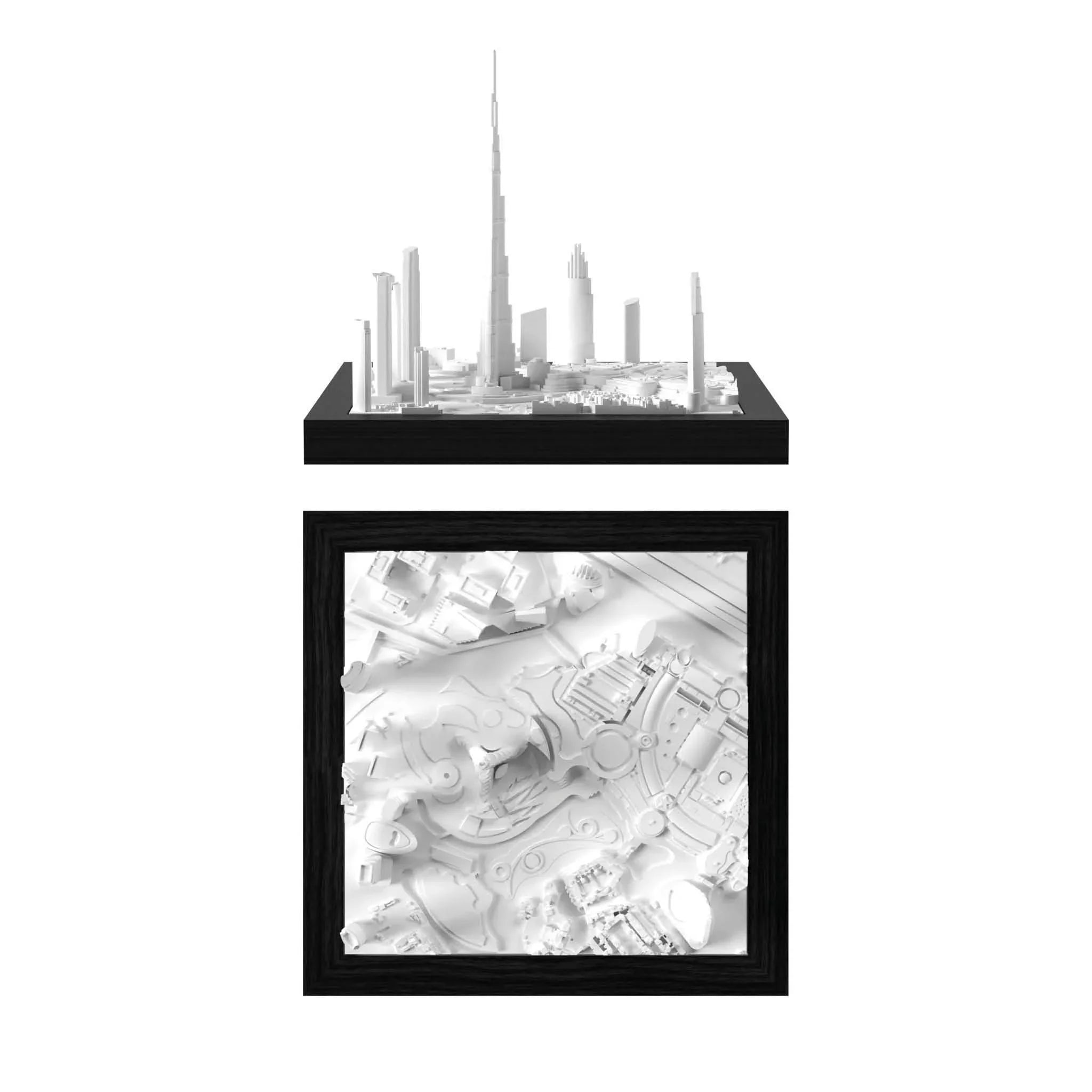
Dubai Before

Dubai After CitySculpt
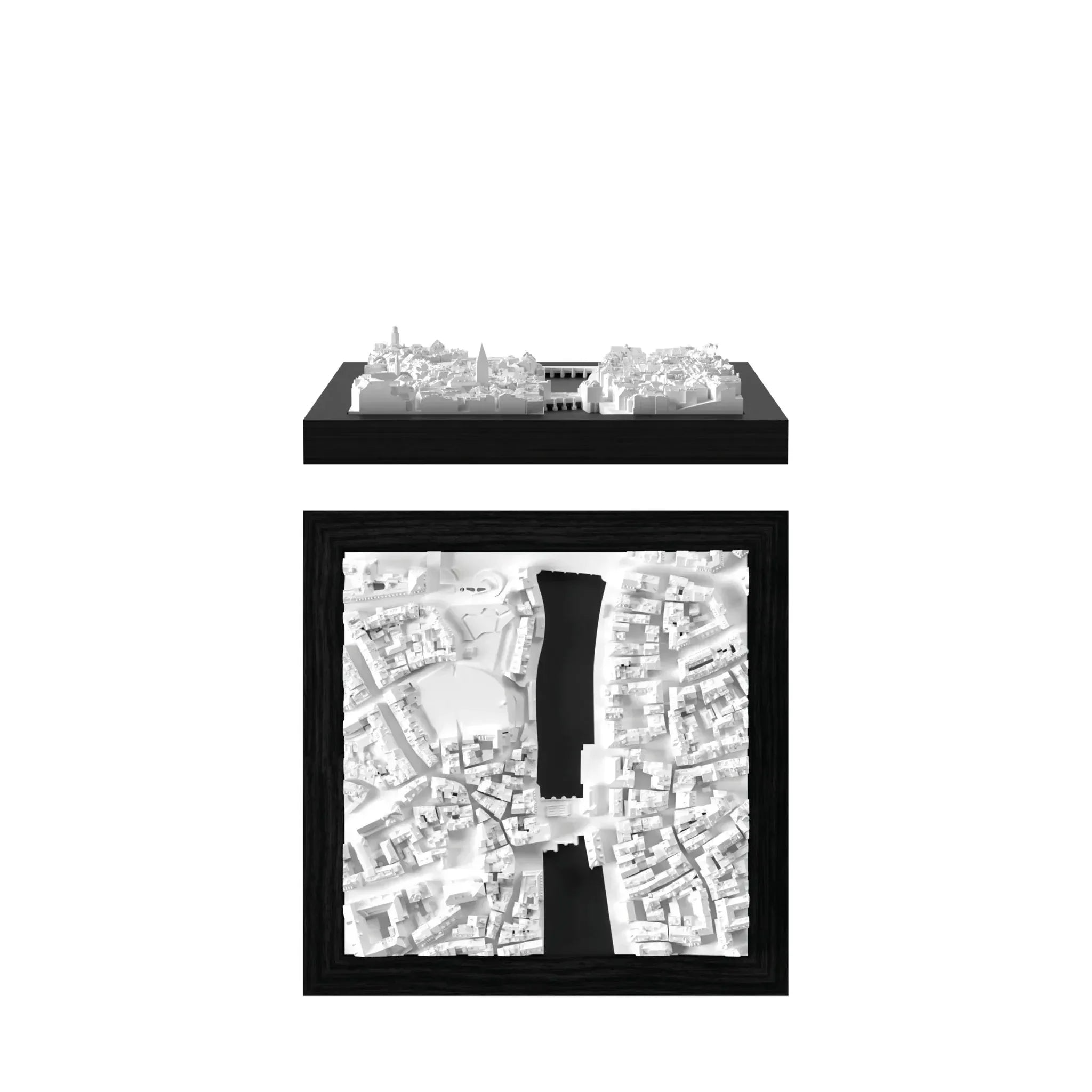
Top Picks for Travelers, Collectors & Design Lovers
Popular Cities
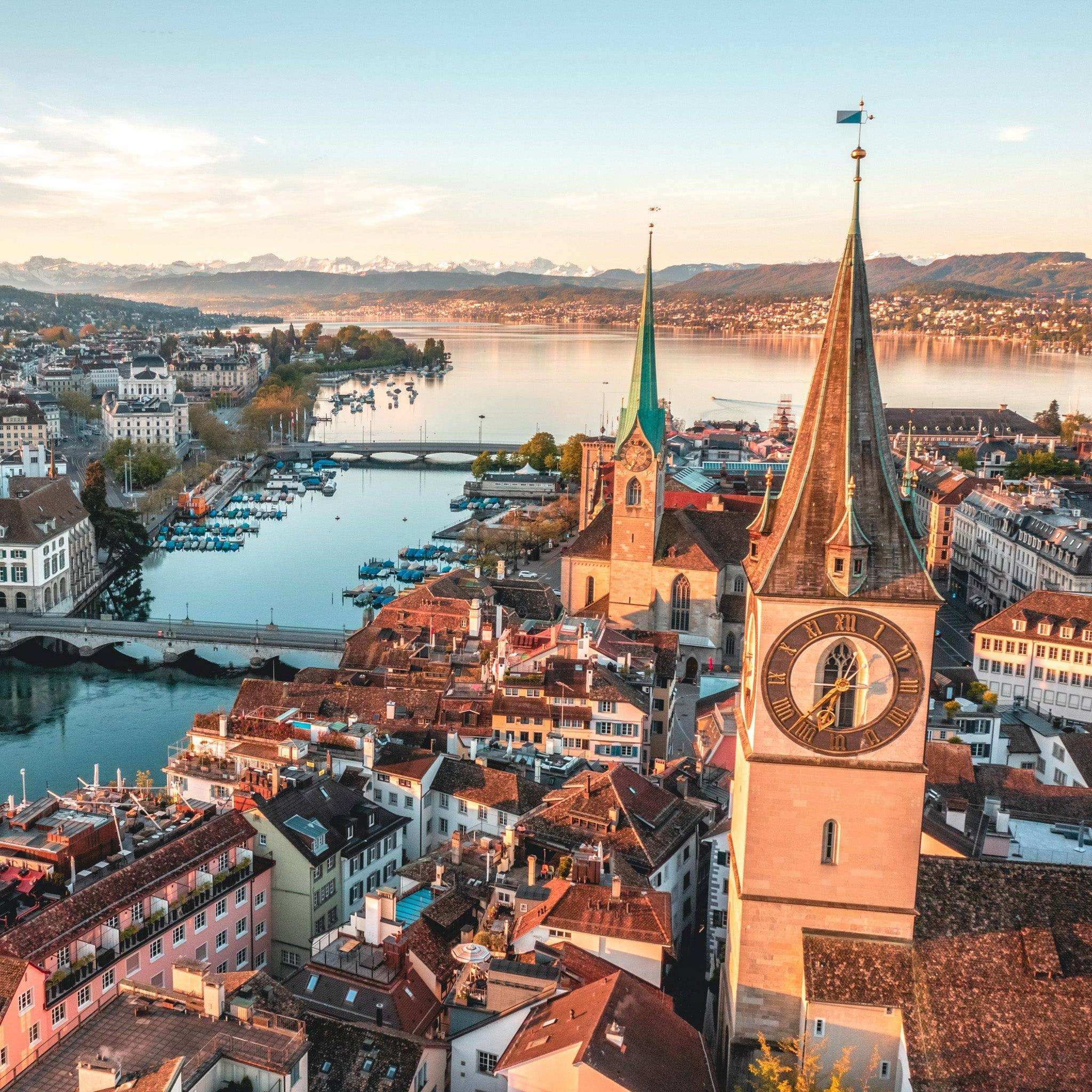
Switzerland 🇨🇭
Zurich
.
CHF 85.00
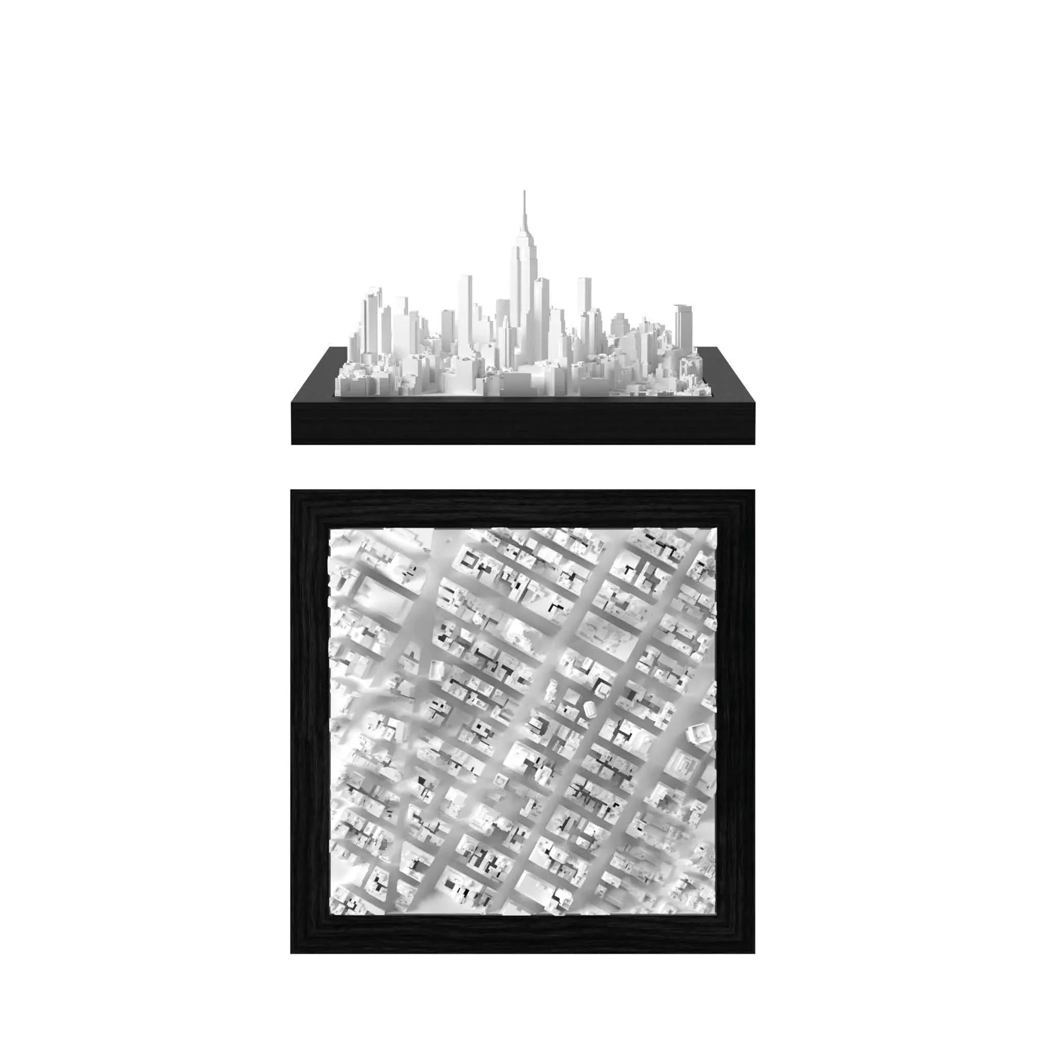
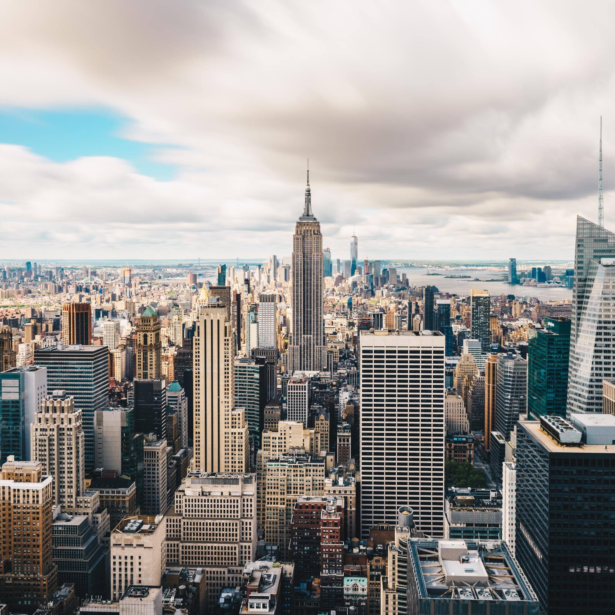
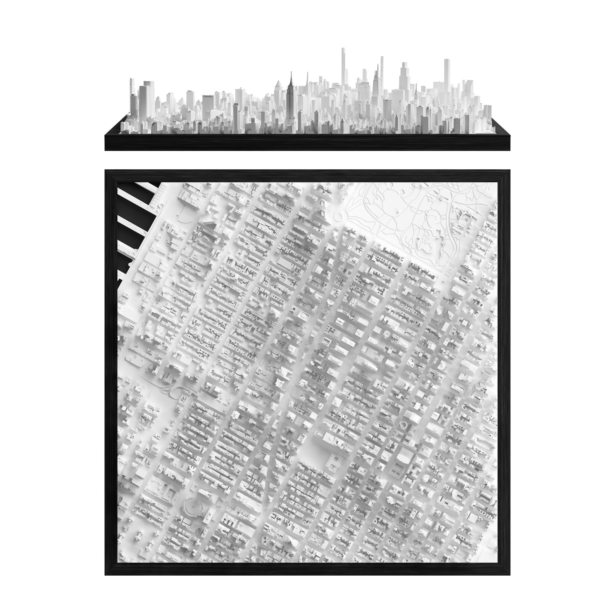
United States 🇺🇸
New York
Midtown
CHF 85.00
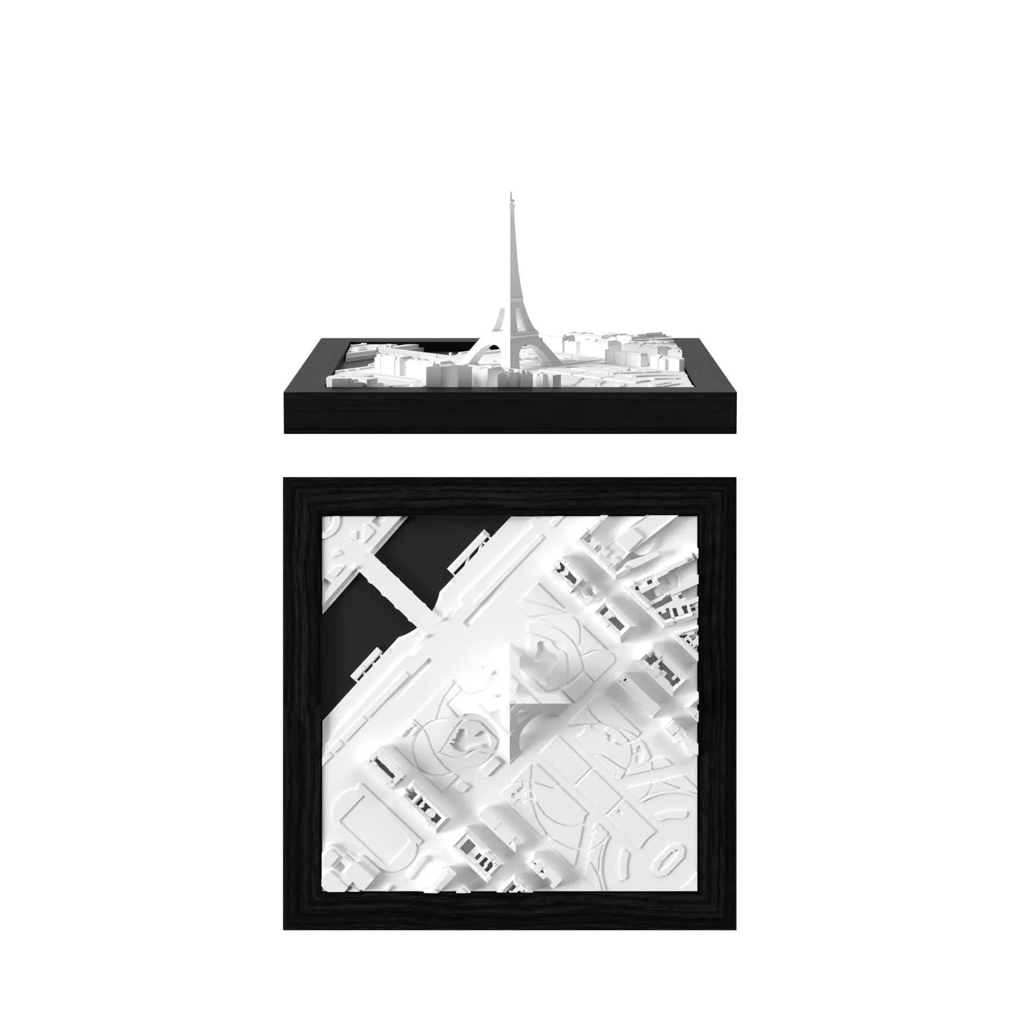
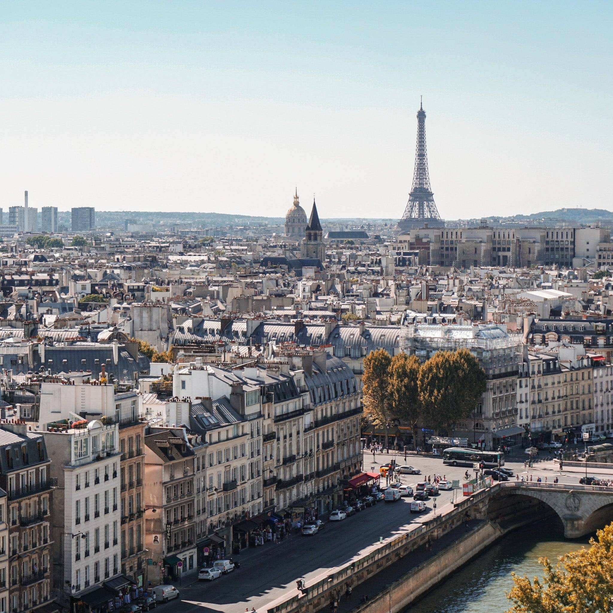
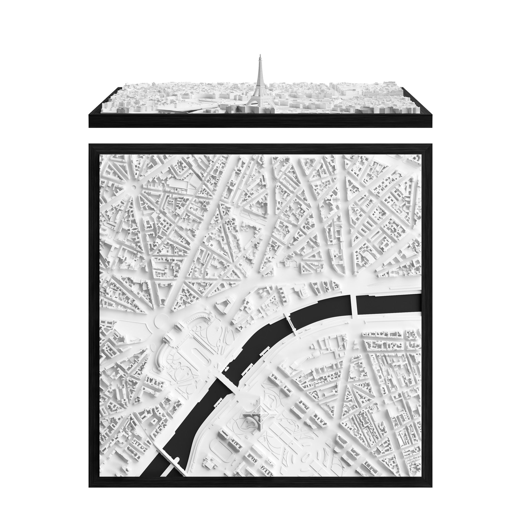
France 🇫🇷
Paris
Eiffel Tower
CHF 85.00

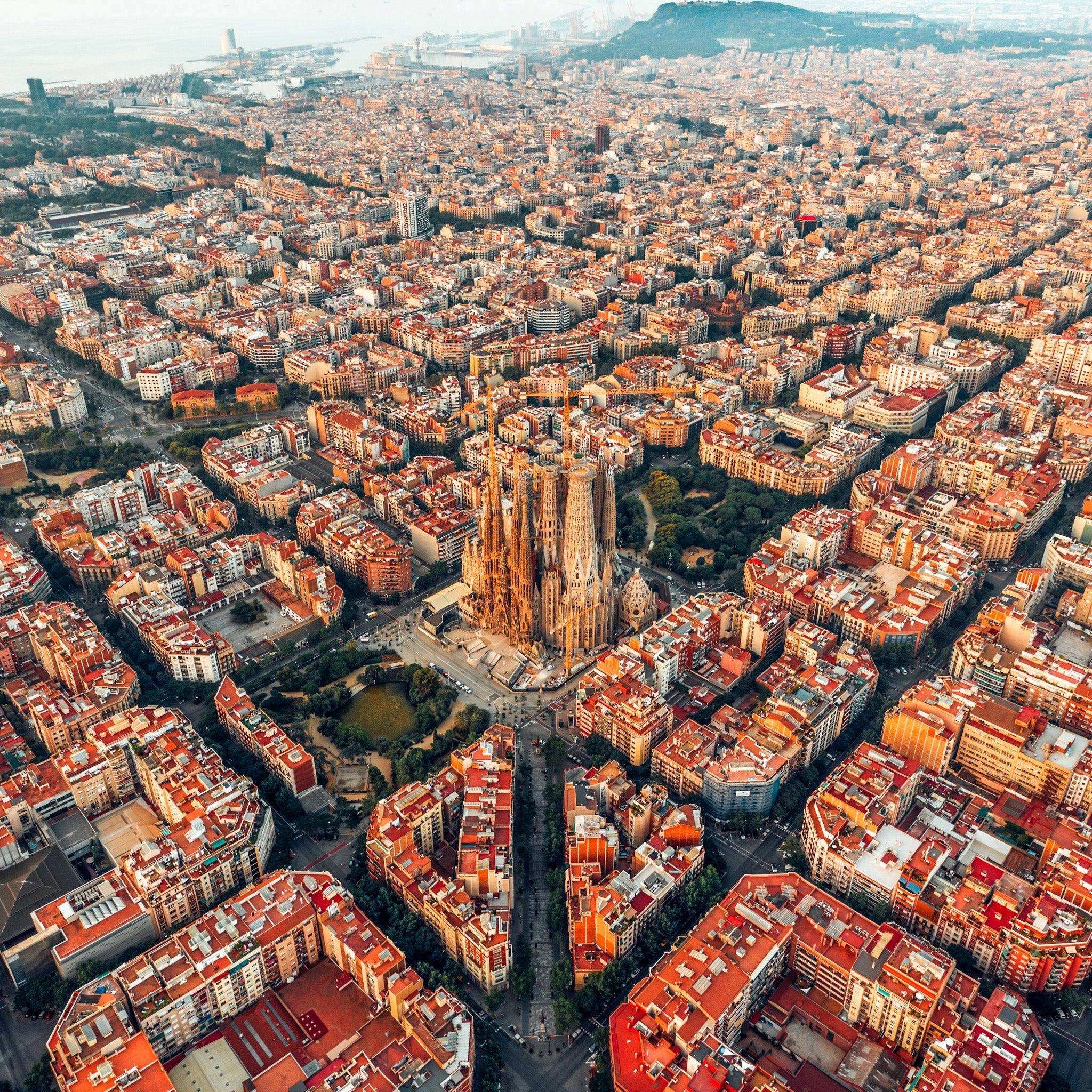
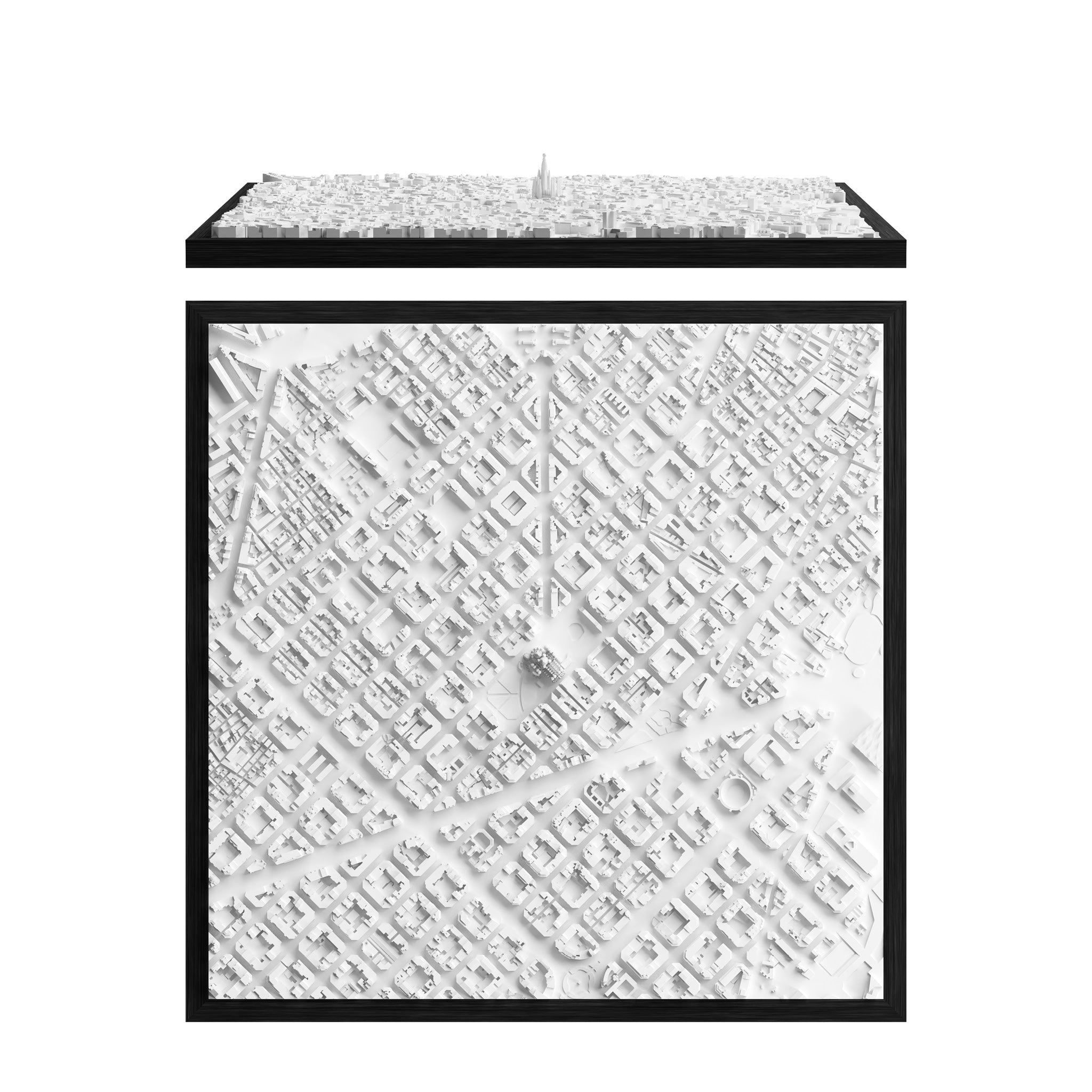
Spain 🇪🇸
Barcelona
.
CHF 85.00
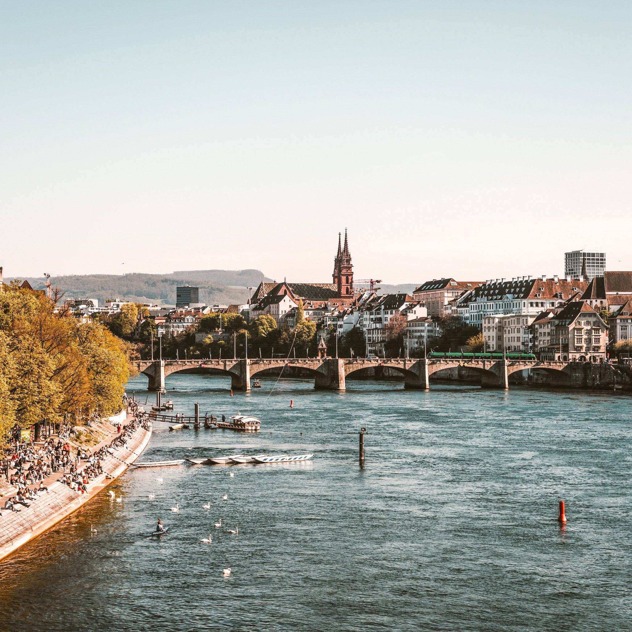
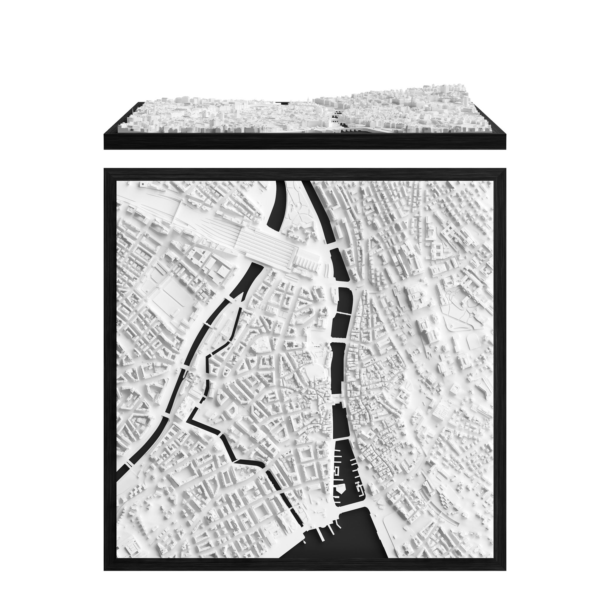
Switzerland 🇨🇭
Basel
.
CHF 85.00

Italy 🇮🇹
Rome
Colosseum
CHF 85.00
Switzerland 🇨🇭
Bern
.
CHF 85.00
United Kingdom 🇬🇧
London
City
CHF 85.00

Switzerland 🇨🇭
Geneva
.
CHF 85.00
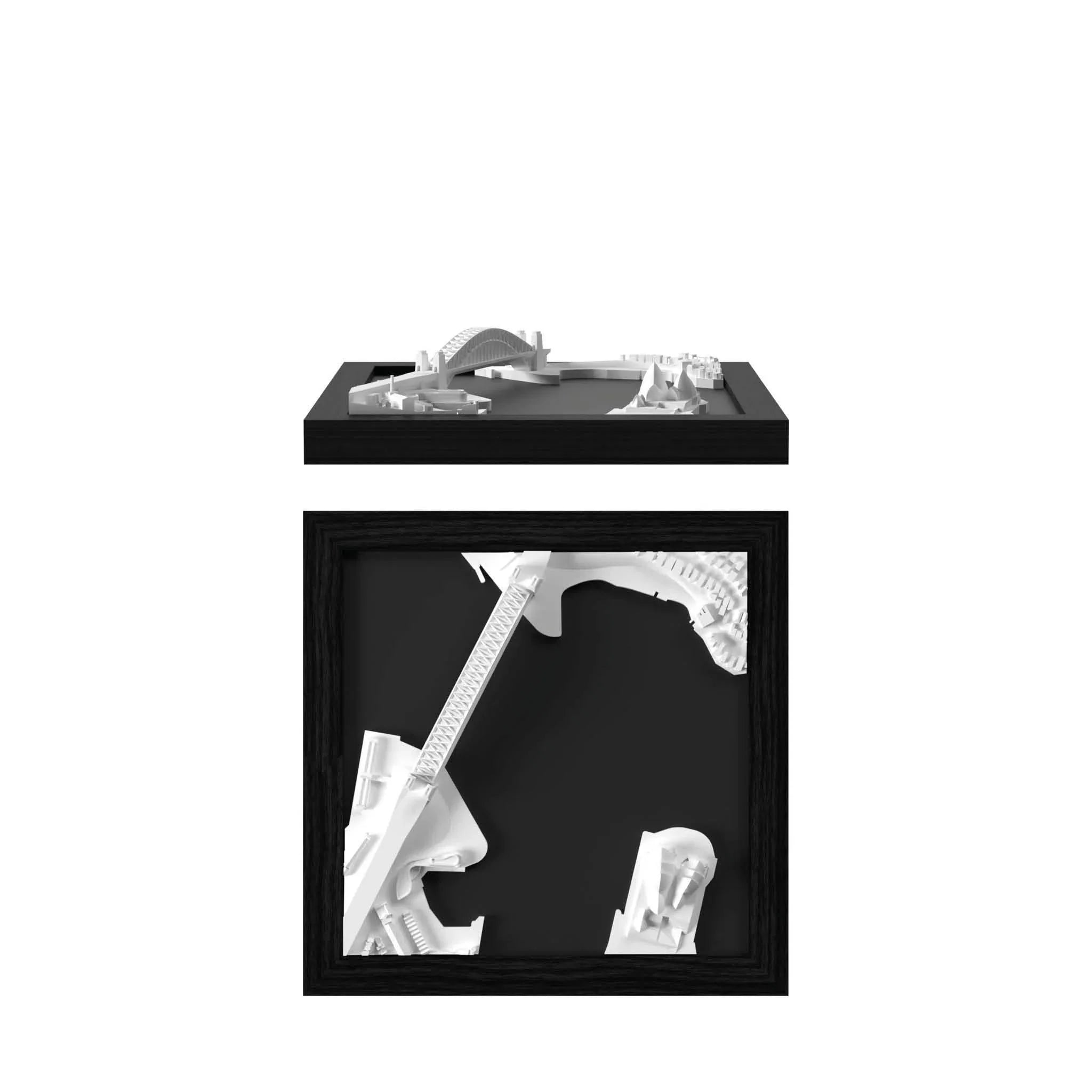
Australia 🇦🇺
Sydney
Harbour
CHF 85.00
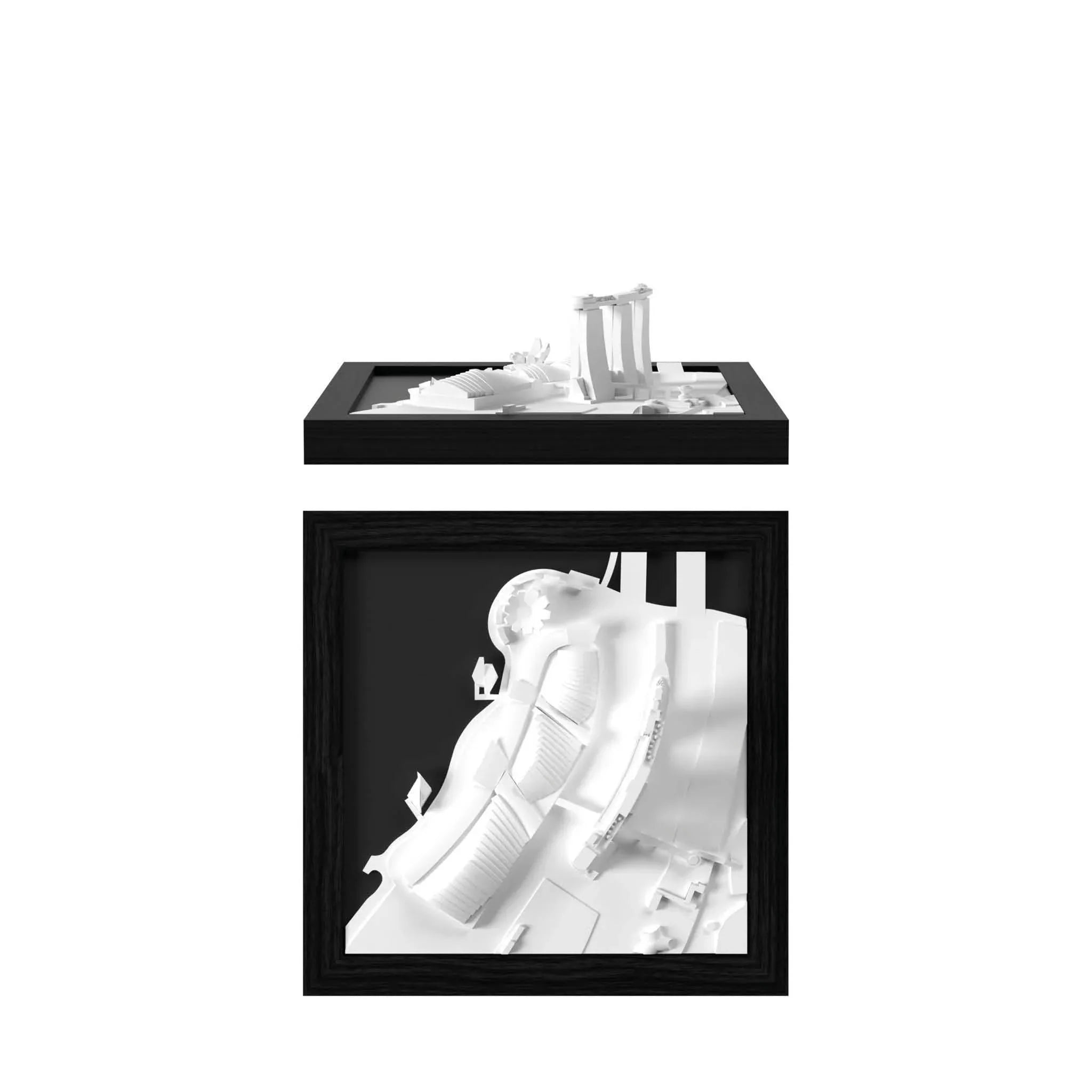
Singapore 🇸🇬
Singapore
Marina Bay
CHF 85.00